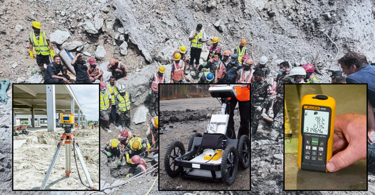
How LiDAR, GPR, and laser meters could aid search and rescue efforts in flood-hit areas
Summary
The government is preparing to use LiDAR, ground-penetrating radar and high-accuracy laser meters in flood-hit Bhotekoshi-Trishuli areas to help search for buried structures and trapped people. The technologies could improve rescue accuracy by mapping terrain, detecting what lies beneath debris, and guiding precise digging and drilling.
Key Points
- The government has requested LiDAR, GPR and high-accuracy laser meters to support search and rescue in flood-affected Bhotekoshi-Trishuli areas.
- LiDAR can map surface terrain and help identify buried roads, houses and tunnels from aerial scans.
- GPR can help detect what lies beneath mud and debris, including possible trapped persons or empty spaces.
- High-accuracy laser meters can provide precise depth and distance measurements to guide safe digging and drilling.