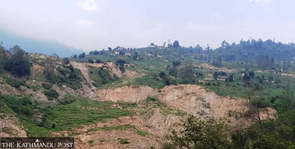
Eight of Kalikot’s nine local units face high landslide risk
Summary
Eight of Kalikot’s nine local units face high landslide risk, with fragile geology and poorly engineered rural roads worsening the threat. The district has prepared a 2026 disaster preparedness plan, identified safe evacuation sites and expanded emergency response capacity with support from security agencies and local governments.
Key Points
- A district assessment found eight of Kalikot’s nine local units at high risk of landslides, while Raskot Municipality faces moderate risk.
- Authorities say unplanned rural road construction and weak geology have intensified slope failures and blocked the Karnali Highway and Karnali Corridor during heavy rain.
- The District Disaster Preparedness and Response Plan 2026 covers multiple hazards and includes evacuation sites, rescue equipment and emergency operation centres.
- The district has expanded search-and-rescue training and coordinated with the Nepal Police, Nepali Army, Armed Police Force and the Ministry of Home Affairs.