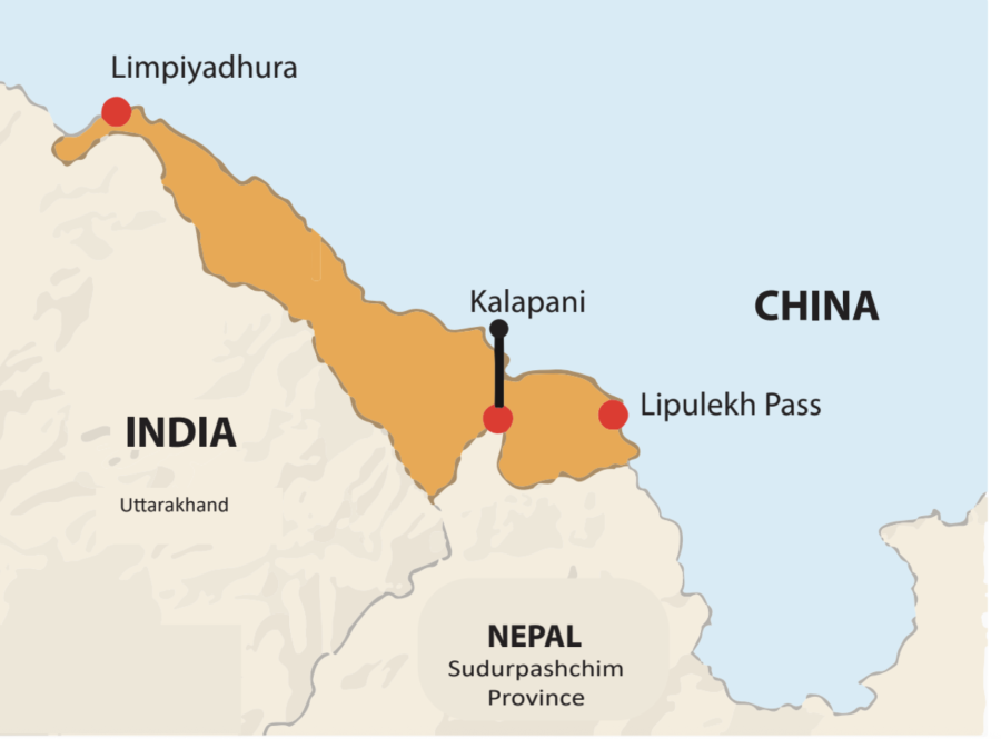
Opinion | The Lipulekh labyrinth: name, maps and the Kali river
Summary
Nepal protests India's and China's resumption of the trade route through Lipulekh without Nepal's consent, emphasizing historical maps and the Sugauli treaty to assert its territorial claims.
Key Points
- India and China resumed the trade route to Mansarovar through Lipulekh without Nepal's consent, causing strong objection from Nepal.
- The Treaty of Sugauli (1815) established the Kali River as Nepal's western border, but did not explicitly name Limpiyadhura as its source, leading to cartographic ambiguities.
- Maps produced by the British from 1856 onwards shifted the border unilaterally eastward, fueling the ongoing territorial dispute.
- Nepal urges evidence-based bilateral diplomatic negotiations with India, advocating for joint technical verification and diplomatic consistency.