Mapping a nation into being
Summary
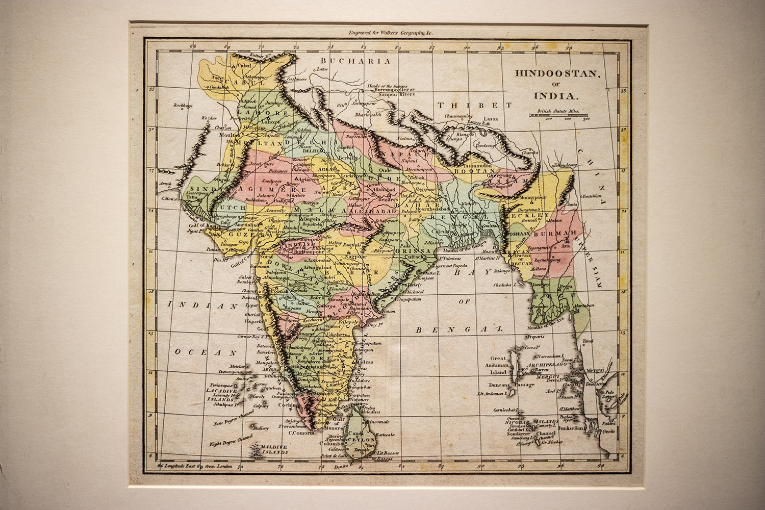
The exhibition ‘Imaging South Asia: Népal in the Making’ at Kathmandu Art Gallery explores Nepal's cartographic history from the 18th to 20th century, showing how maps shaped national and regional spatial imagination and political boundaries.
Key Points
- The exhibition presents Nepal's cartographic historiography from the 18th to 20th century.
- Early maps integrated Nepal and the Himalaya into imperial and trade networks rather than rigid borders.
- Nepal's first modern national map was created in 1950 for administrative purposes, standardizing territorial units.
- Cartography evolved to depict Nepal and South Asia as discrete political entities, shifting from fluid mobility to bounded states.